Skip to main content

Lane Avenue Corridor Study
Robust Community Engagement Techniques Offer Residents Real-Time Views of Busy Corridor’s Future
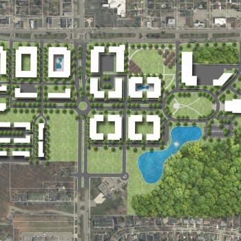
The City of Upper Arlington’s Lane Avenue corridor is a highly traveled thoroughfare in the heart of the city flanked by mature neighborhoods dating back to the community’s founding in 1918. In recent years, due to the City’s location near The Ohio State University and Downtown Columbus, rapid growth and redevelopment has created a sense of uncertainty around the corridor. City staff and the community desired the identification of a clear purpose for how Lane Avenue should develop in the future.
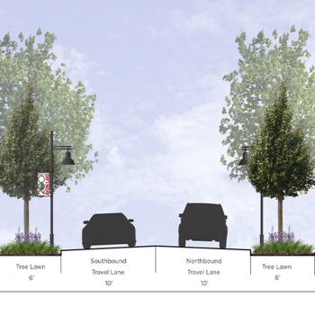
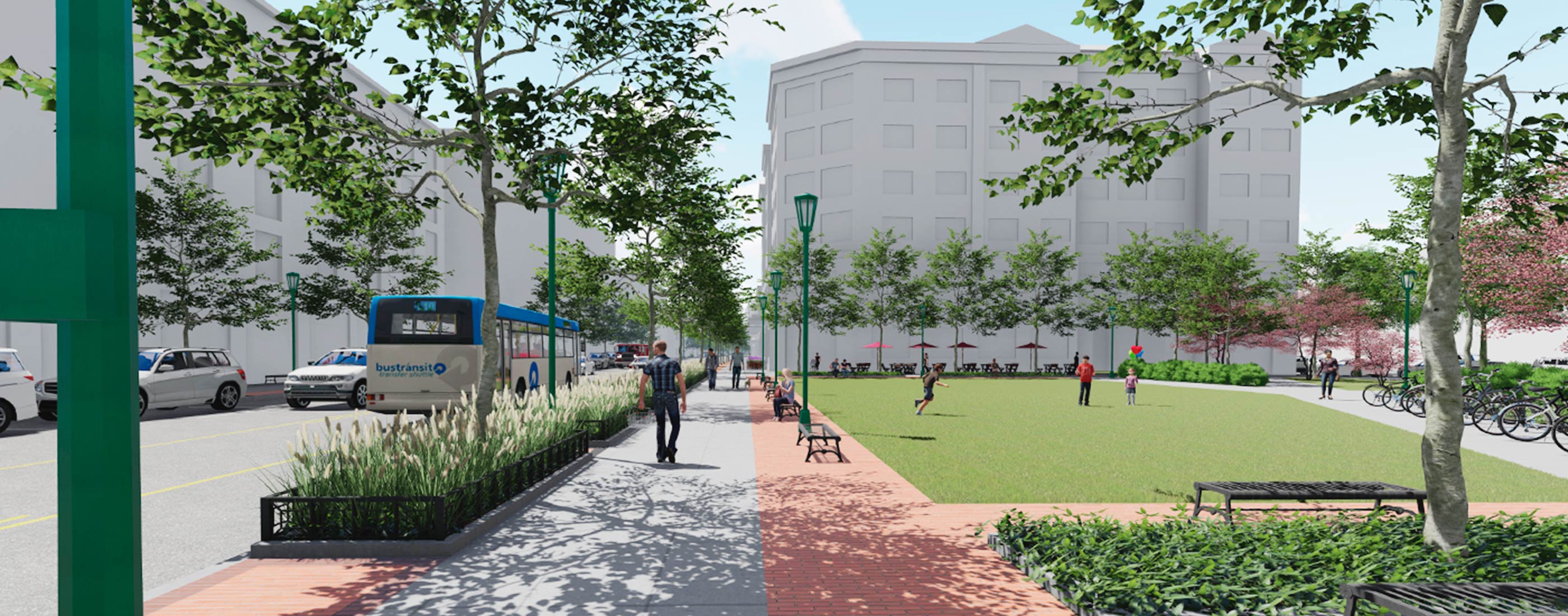
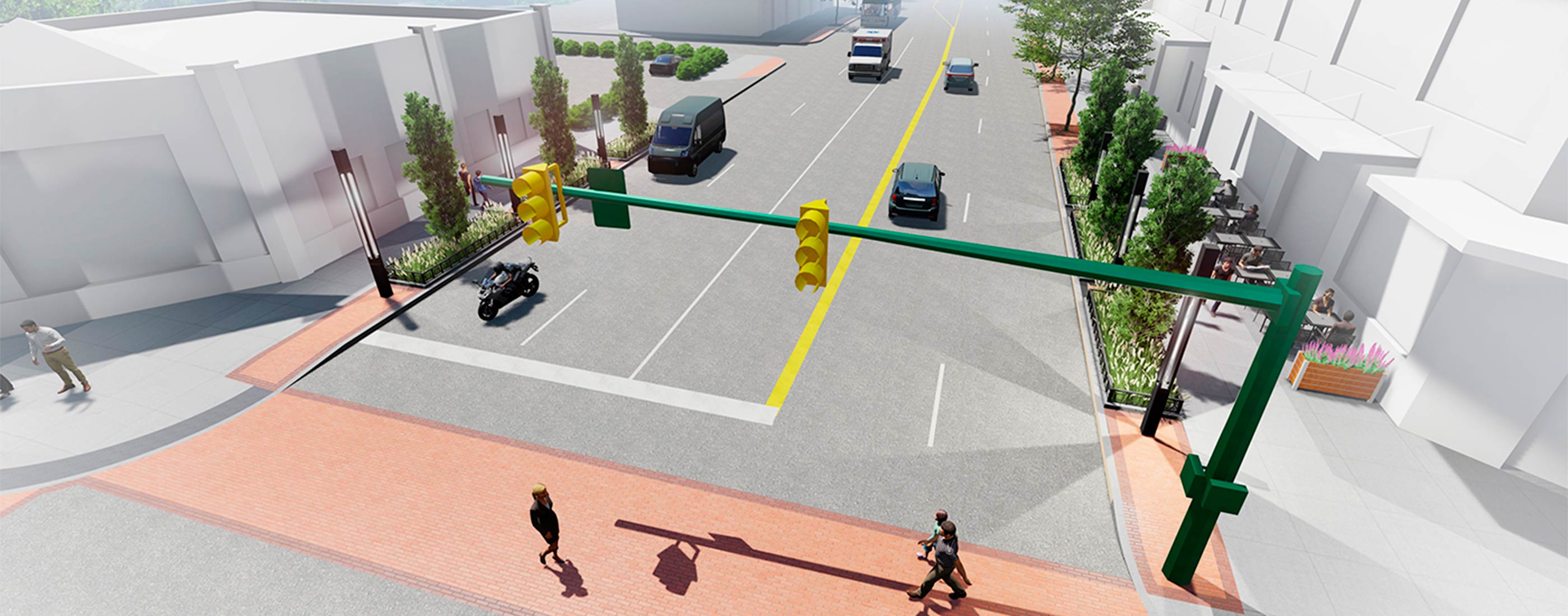
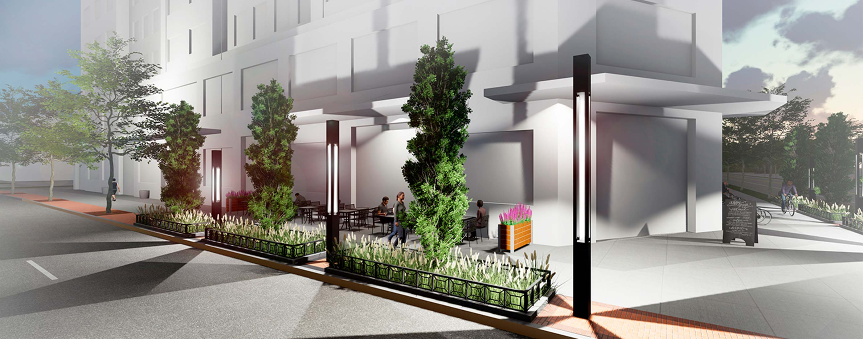
For years, Lane Avenue has functioned as more of a driveable rather than walkable corridor, and recent multi-story, mixed-use development has spurred concern over how new development complements existing neighborhoods and shapes the future of the city fabric. To address these issues, local officials retained OHM Advisors to develop a master land use development plan, streetscape plan and accompanying set of zoning regulations to shape a cohesive mixed-use and walkable environment, while minimizing the impact of future development on surrounding neighborhoods.
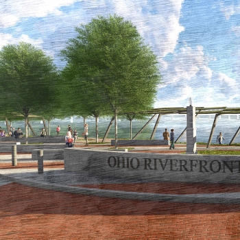
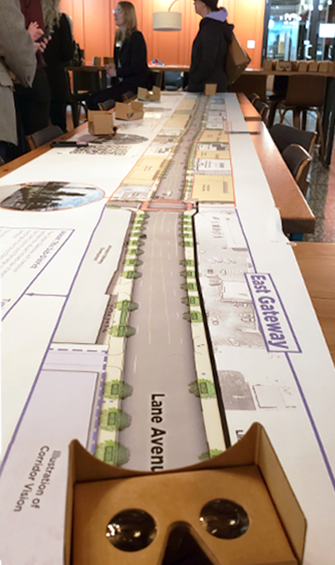
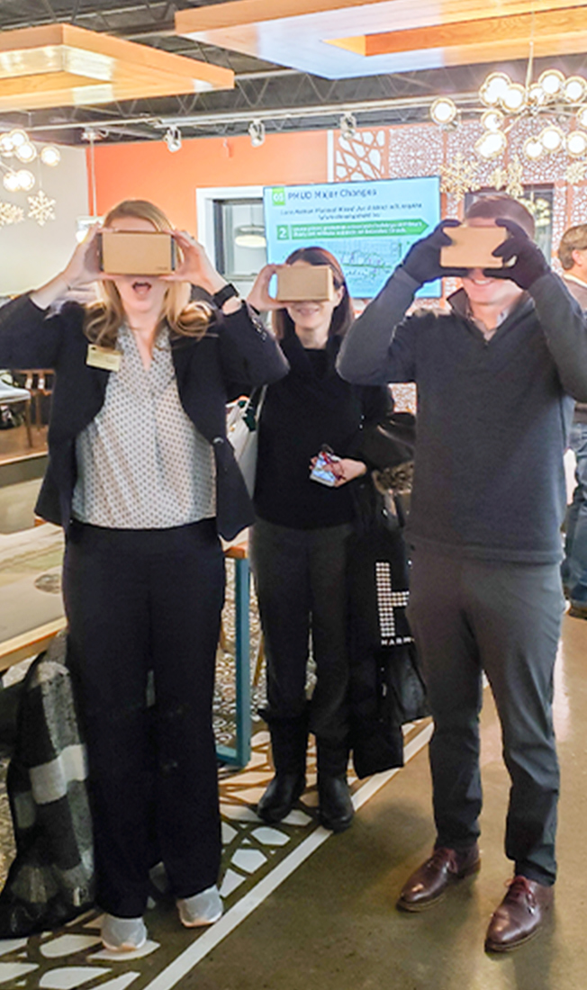
In one of the firm’s most innovative public engagement strategies to date, the Planning team utilized Virtual Reality (VR) to provide public meeting attendees a truly immersive look at what proposed streetscape enhancements and gateway features would look like throughout the corridor. Through the use of scannable QR codes and Google VR glasses, community members and key project stakeholders experienced a simulated “walk” through the enhanced corridor in real-time that spurred their reactions to the space and prompted their important project feedback.
Project Highlights: planning, community engagement, visualization, zoning codes and standards, economic development planning, streetscape design
The City of Upper Arlington undertook a complex planning process to guide the development of our premier development corridor. OHM Advisors used a variety of innovative techniques, including Virtual Reality, to clearly demonstrate how the corridor could be shaped in the future. Their approach was extremely valuable to inform, excite, and unite the community around a shared vision.