Skip to main content
Ian Thomas: Meet Our Experts Series
Surveying what’s next
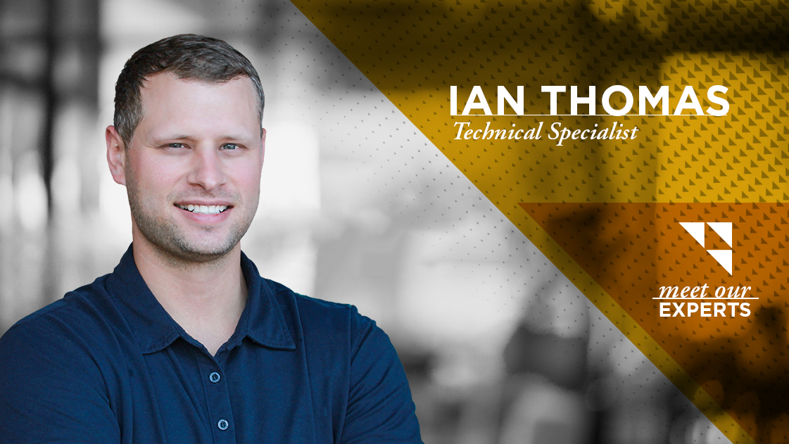
Ian Thomas is a Technical Specialist with OHM Advisors’ Field Services team. He leads the firm’s unmanned vehicle program, including its drone and uncrewed surface vessel capabilities. We sat down with Ian to learn more about his path into surveying, his interest in emerging technology and how he’s helping expand the tools available to OHM project teams and clients.
Quick Facts:
- Title: Technical Specialist
- Experience: With OHM Advisors since 2015
Ian’s path to surveying began in a classroom at Baker College of Allen Park. His instructor, an OHM Advisors surveyor, took notice when Ian suggested a different way to solve a problem the class was discussing. The exchange ultimately led to an opportunity to join the firm.
His work over the past 11 years has spanned traditional surveying, photogrammetry, drone operations and LiDAR applications. He now manages OHM’s unmanned vehicle program, leading a 14-person team across multiple offices. The drone program has grown from roughly 10 to 20 flights per year in 2016 to an average of around 400 annually under his leadership.
What has kept you interested in surveying throughout your career?
I like the problem-solving side of surveying. Every project is a little different, and there are often several ways to collect the information we need. That variety keeps me learning and gives me the chance to think through the best approach for each project.
I think of all of those capabilities as tools in the toolbox. You have to understand the project, the conditions you’re working in and the information the team needs, then determine the best way to collect it. Sometimes that’s a traditional survey, sometimes it’s a drone or another tool like bathymetric surveying, and often it’s a combination. I enjoy looking at the full project to figure out which methods will yield useful information for our engineers and clients.
I think of all of those capabilities as tools in the toolbox. You have to understand the project, the conditions you’re working in and the information the team needs, then determine the best way to collect it.
OHM’s unmanned vehicle program has grown quite a bit in recent years. What do you think has driven that growth?
We’ve been intentional about expanding access to the technology across OHM, adding equipment and training team members across multiple offices so we can mobilize quickly for work ranging from survey mapping and infrastructure inspection to construction, planning and emergency response.
Clients are also seeing the practical value. In some cases, drone data collection can significantly reduce field time and cost while providing project teams with more information to work with. Because we own the equipment and perform the work in-house, we can respond quickly and adapt our approach to the needs of each project. We’ve seen similar growth in our bathymetric surveying capabilities as teams and clients find more ways to use that technology on projects in and around the water.
You mentioned bathymetric surveying. Could you explain what it is and share some of the ways it can benefit our clients?
The easiest way to describe it is that it’s similar to a topographic survey, but underwater. On land, we collect elevation information to understand the existing conditions of a road or site. Bathymetric surveying allows us to collect that same type of information below the water’s surface.
It can help us understand water depth around a bridge or pier, identify sediment or obstructions, evaluate conditions around bridge abutments or determine where dredging may be needed. Because those conditions aren’t always visible from the surface, the data gives engineers and clients a clearer picture of what’s underwater and information they can use for planning and design.
This approach can save time and cost, but one of the biggest benefits is safety because it helps keep our people out of the water, particularly in areas with strong currents or other challenging conditions.
And going back to what I said earlier, the demand for this capability is growing. We started with maybe one or two bathymetric survey projects a year, and now we’re doing around 10 to 15.
One of the biggest benefits is safety. We can collect the information we need while keeping our people out of the water.
Can you give an example of how bathymetric data has helped a client better understand a project site?
We recently worked with a client that wanted to install a new boat ramp. Before designing the ramp, they needed to understand the water depth and conditions along the bottom. We surveyed the area and gave them a clearer picture of the existing conditions to use as they moved into design.
There’s still a lot of opportunity to help clients understand where this type of information can be useful. Whether it’s a lake, river, stream, dam, bridge crossing or retention basin, bathymetric data can provide insight into conditions that are otherwise difficult to see.
What’s ahead for your team, and where do you see opportunities to grow OHM’s unmanned vehicle program?
We want to keep building on our current capabilities while investing in new technology that can improve the quality of the data we collect. Our equipment is increasingly versatile, so we can add different sensors and capabilities as project needs evolve. The key is making sure those investments provide real value for OHM and our clients.
I also see an opportunity to expand our work with federal clients. Some federal projects have specific security and technology requirements, and investing in equipment that meets those standards could open the door to new clients and larger projects.
What advice would you give someone just starting out in this field?
I’d say stay curious and embrace the challenge. Unmanned technology is still a relatively new field, and it changes quickly, so there’s always something to learn. Being open to new tools and willing to adapt will take you a long way.
What keeps you busy outside of work? Any fun facts?
When I’m not working, I spend a lot of time with my golden retriever. We go on walks and runs, and I also love to travel when I get the chance. I lived in the Outer Banks of North Carolina for a while, so I still enjoy getting back to the coast.